


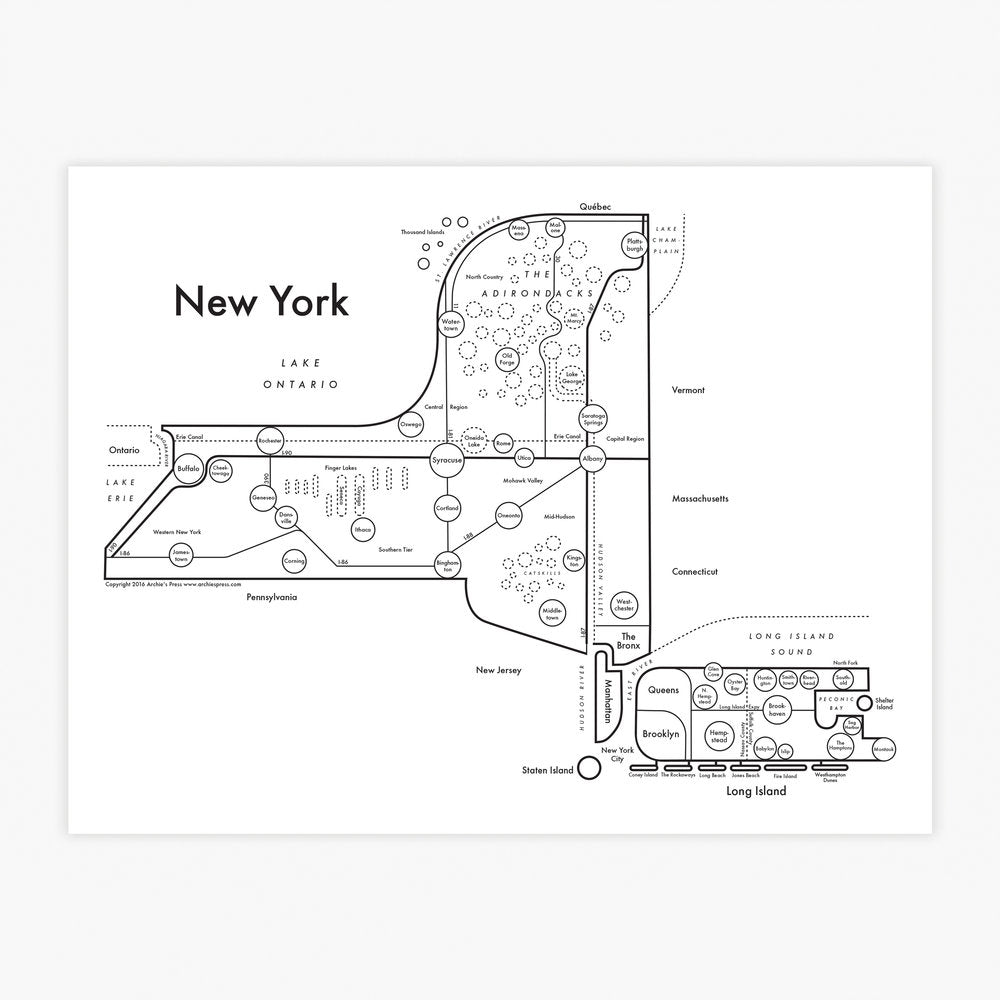

A map of New York State, including the city, and the massive stretch of land from the Atlantic Ocean to Lake Ontario.
Whenever I've driven across the country, often from Colorado to Rhode Island, I've always underestimated the sheer size of this state. It is enormous, especially by East Coast standards.
I'm currently writing this listing from a beautiful cabin in the Catskills, where we've found secret watering holes and lots of chickens. It's a wonderful state and I can't wait to see more.
ABOUT THE IDEA
Information is more fun to read when it's beautiful. I've designed these charts and maps with hours of research, reassembling data into a brain-friendly aesthetic. I edit the information significantly, avoiding the "dazzle" effect which occurs when our eyes are battered with too much information. Letterpress makes it even more gorgeous.
ABOUT LETTERPRESS PRINTING
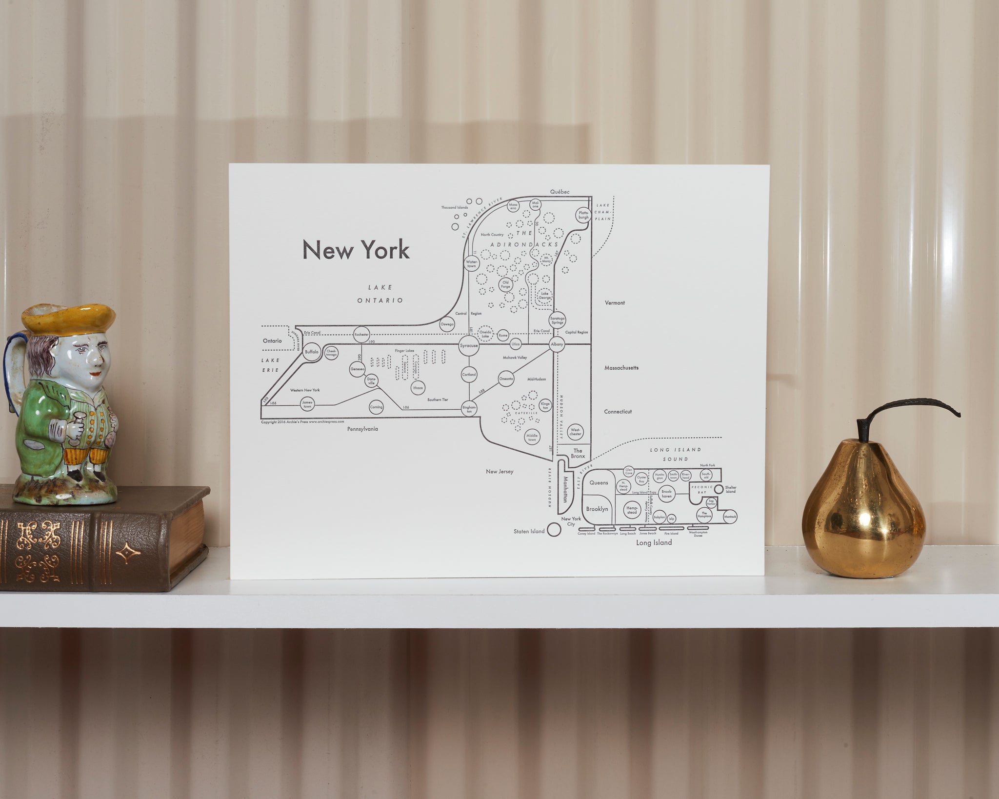
Letterpress is a very complicated and expensive printing method that I am obsessed with. All letterpress prints are slammed with 600 pounds of pressure, creating a deep, tactile texture. The ink gets embedded into the thick soft paper so it won't fade within your lifetime. Read more about letterpress printing here.
Your local frame shop is going to do a better job than anyone else. There's a reason this craft endures and cannot be automated: It's skilled work that is best done face-to-face in physical space.
See more framing ideas here.
Copyright 2020 Archie's Press